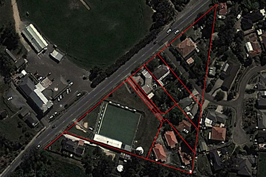


There are many sources of Mapping and Aerial Photography these days, with the most popular free service being Google Earth and Google Maps. Other sources include Bing Maps, NearMap and many others. To start off a project, these sources provide a good background for initial appraisals. As work progresses though, there may be a need for higher accuracy or up to the minute photography.
What we can provide is access to all these sources as well as Government spatial data (Mapland) and our own capabilities (using Drone photography and RTK GPS field verification) to provide to ability to put all these sources together on one coordinate system and provide project specific Mapping.
What we can provide is access to all these sources as well as Government spatial data (Mapland) and our own capabilities (using Drone photography and RTK GPS field verification) to provide to ability to put all these sources together on one coordinate system and provide project specific Mapping.
